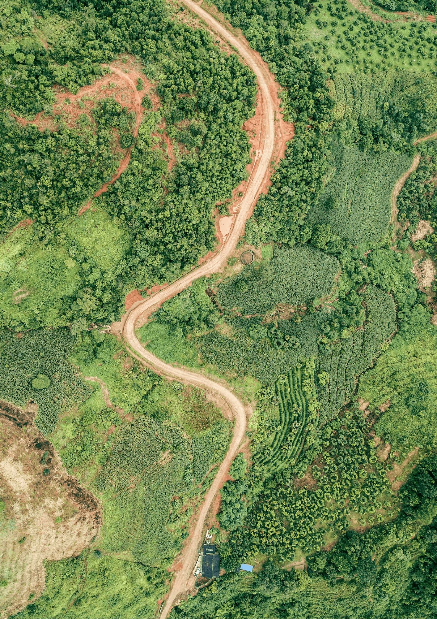
The matrix below contains all project activities you indicated, mapped against the land cover types identified in the shapefile.
Trees, non-tree vegetation, both or not decided yet? This matters because there was a conflict between tree planting and non-tree vegetation in the input.
This matters because it might have a major impact on the result.
Would it for example become cropland, degraded land,...?